About This Project
In the Alps, there are karst areas where plentiful precipitation soaks right in. This water flows through underground passages to important springs in the valleys below. Except for a few caves, these groundwater conduits are un-mapped. We are testing remote sensing methods for locating them. This will aid land use and water withdrawal planning to protect this critical resource from threats posed by (e.g.) increased development and climate change.Ask the Scientists
Join The DiscussionWhat is the context of this research?
In our study area, rain at high elevations soaks-in quickly, and water flows to springs in the valleys below in underground conduits – a plumbing system. Previous work established connections between infiltration in the mountains and springs in the valleys, so we know the inlets and outlets of the system. Comparing timing of mountain precipitation to valley spring discharge yields lengths/diameters of the pipes. But, to learn the layout of the pipes, we need geophysics.
Geophysics is medical radiology applied to the Earth. We detect energy that passes through the ground (electrical currents, seismic waves, etc.) and use variations to make subsurface pictures. Geophysics is non-intrusive; no boreholes are needed, so the plumbing system, landscapes and sensitive ecosystems are not disturbed.
What is the significance of this project?
Nearly half of the Alps are karst – with limestone bedrock containing a plumbing system of dissolved conduits. These carry huge volumes of groundwater, providing much of the drinking and irrigation water in the Alps. In surrounding lowlands, some cities (e.g. Vienna and Grenoble) are almost entirely dependent on alpine karst water. In Austria (e.g.), 50% of fresh water comes from wells or springs fed by karst systems.
The region is developing rapidly. Along with climate change, this will drive increasing demand for fresh water, and decreasing supply, with the twin threats of groundwater contamination and depletion. Knowing the plan of the karst plumbing system would guide practices in land use, waste disposal, agriculture, and sustainable water withdrawal to protect this critical resource.
What are the goals of the project?
This is a piece of a joint project with Karlsruhe Institute of Technology (KIT) that has been studying the karst system draining the Gottesacker Plateau to the Schwarzvasser Valley. We will test two geophysical methods (gravity and resistivity) for mapping alpine karst groundwater conduits. We will do testing near Hammerer Austria where previous work indicates two underground pipes feeding Europe’s largest reversing spring. Students from F&M and KIT will do the geophysical mapping and compare results with existing data on the local connections and capacities of the plumbing system. Future work will adapt and apply successful techniques throughout this area, and ultimately in other mountainous karst regions with potentially threatened water supplies (e.g. SE Asia, and the Andes).
Budget
The application of geophysics as the last step in developing a complete model or 3-D plan of this karst aquifer system is an idea that we just came up with in July, 2014.
Funding for previous work to determine the plumbing system connections, and pipe lengths and diameters is already completely spoken for, so we have come to Experiment.com... and you... for help.
Some of the students who will do this work will already be mobilized to the site with other funding during the intended field effort next summer (2015), so if we move quickly, we can complete this final add-on piece of the project for comparatively little money.
Meet the Team

Tim attended Haverford College and Brown University (PhD, Geophysics, 1989). Tim has worked as a consulting geophysicist since 1987, and has been on the Earth and Environment faculties of the University of Pennsylvania since 2000, and Franklin & Marshall College since 2009. Tim is a founding member of the IAH Karst Commission. His research focuses on geophysics in karst, including one of the first geophysical surveys performed underground while caving.
Tim and Nico have been friends and co-adventurers since 2006, and semi-annually co-teach a course on Karst Groundwater that has been presented in five countries on three continents.
Additional Information
 Karstified limestone on the Gottesacker Plateau (photo by Tim Bechtel).
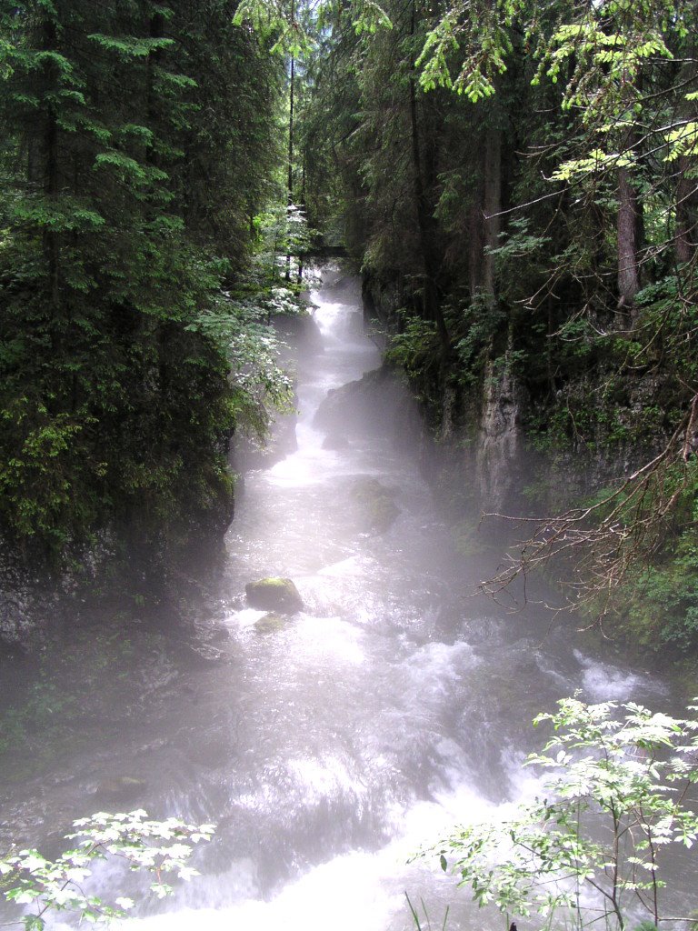
Karstic solution conduits - examples of "the plumbing system" that carries groundwater from the plateau down to the springs that feed the river in the valley below (photo by Tim Bechtel).

Tim taking field notes at the Niedermoor in the Gateway to Gottesacker (photo by Nico Goldscheider).

Nico and students in the valley riverbed in front of a large conduit that is a spring following precipitation on the plateau (photo by Tim Bechtel).
A spring-fed tributary of the Scwarzwasser (photo by Elke Böhme).
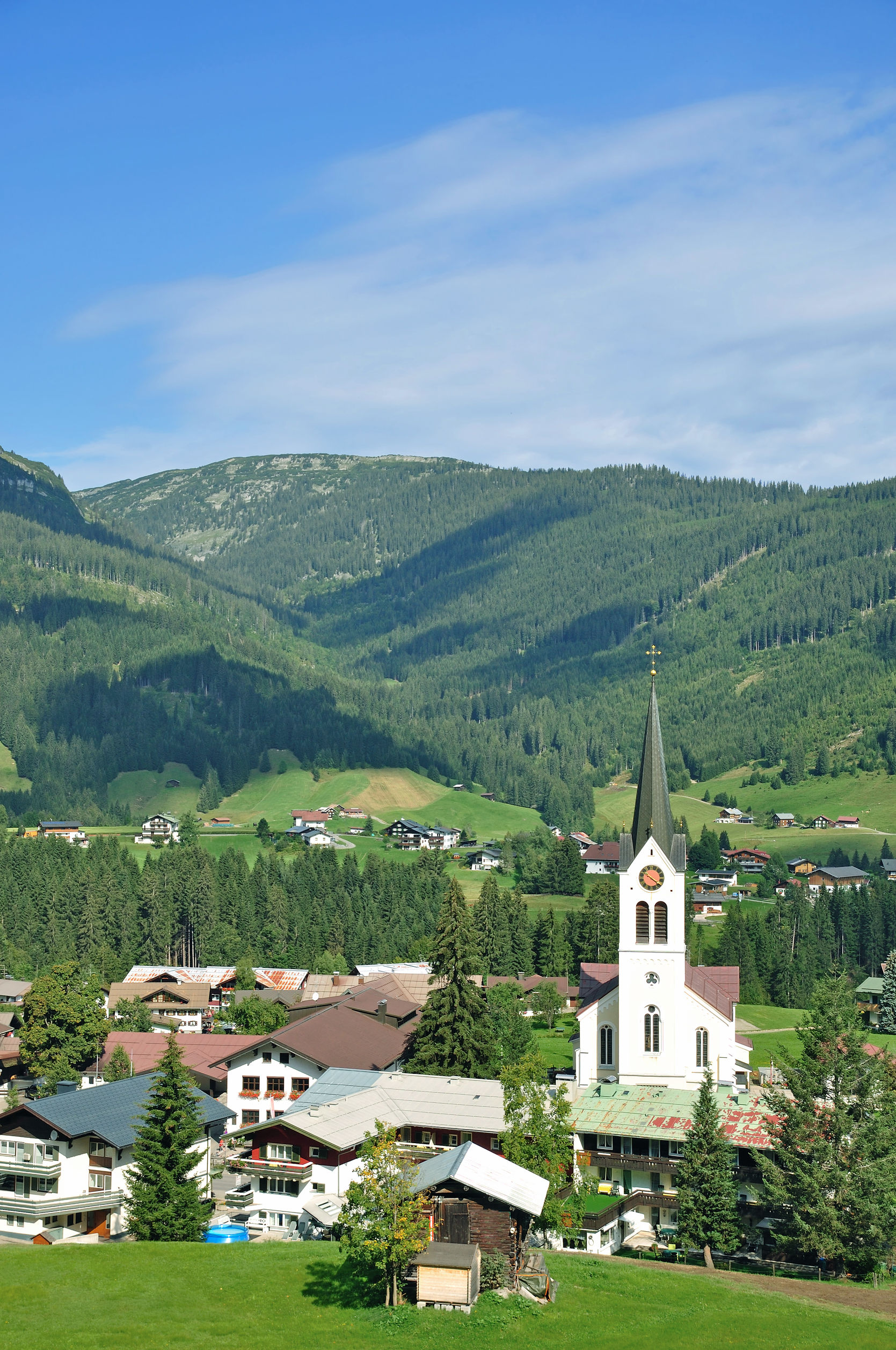
The Village of Riezlern on the banks of the Schwarzwasser (photo by Peter Eckert).
Local groundwater-dependent fauna (photo by Filip Fuxa).
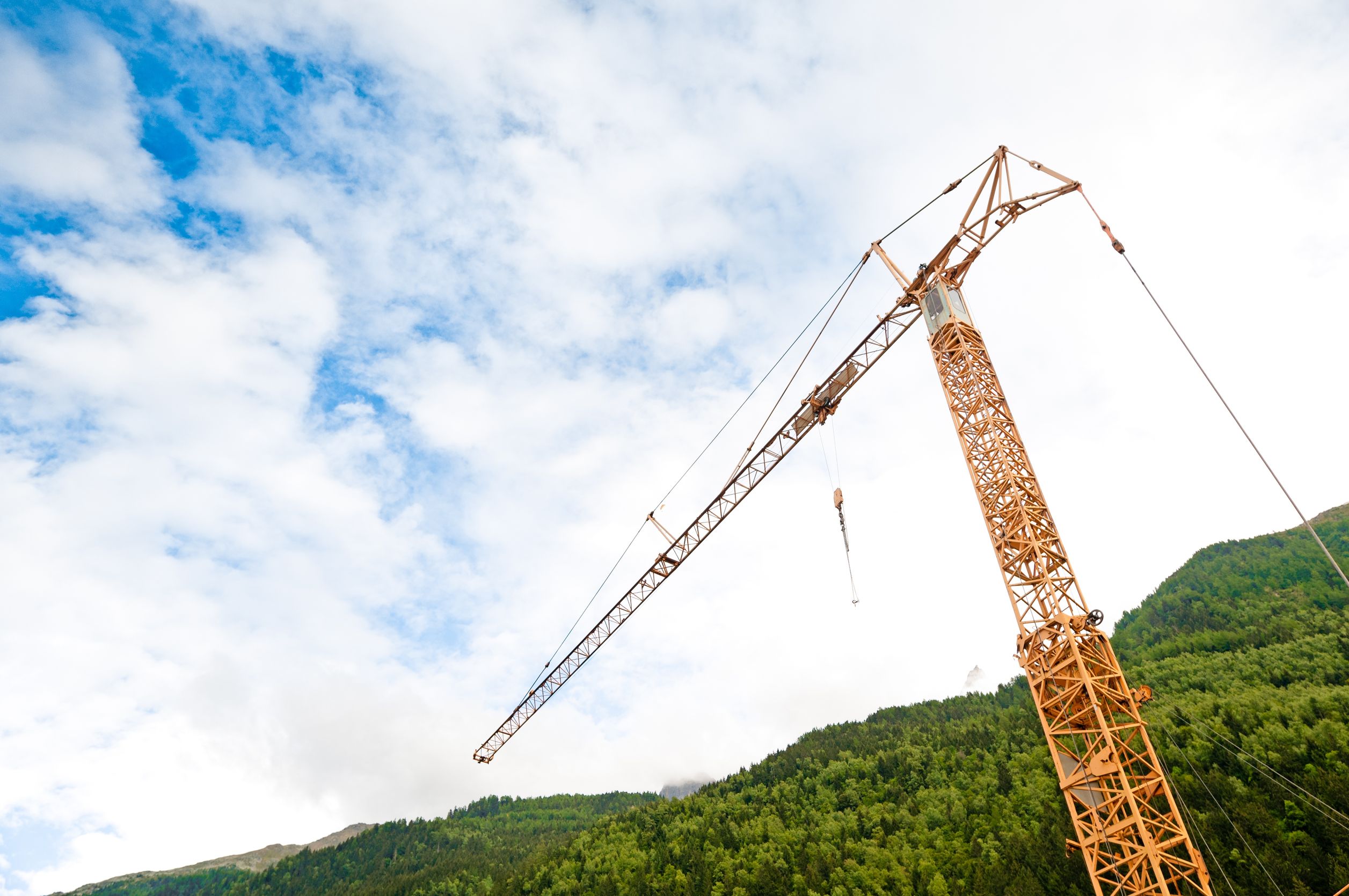
Ubiquitous construction cranes evidence increasing development in the Schwartzwassertal (photo by Constantion Yolshin).
Project Backers
- 11Backers
- 7%Funded
- $506Total Donations
- $46.00Average Donation